Basic ecotouristic information on Tsimanampetsotse National Park (Madagascar) - localization, access, characteristic, fauna and flora, possible activities.
Localization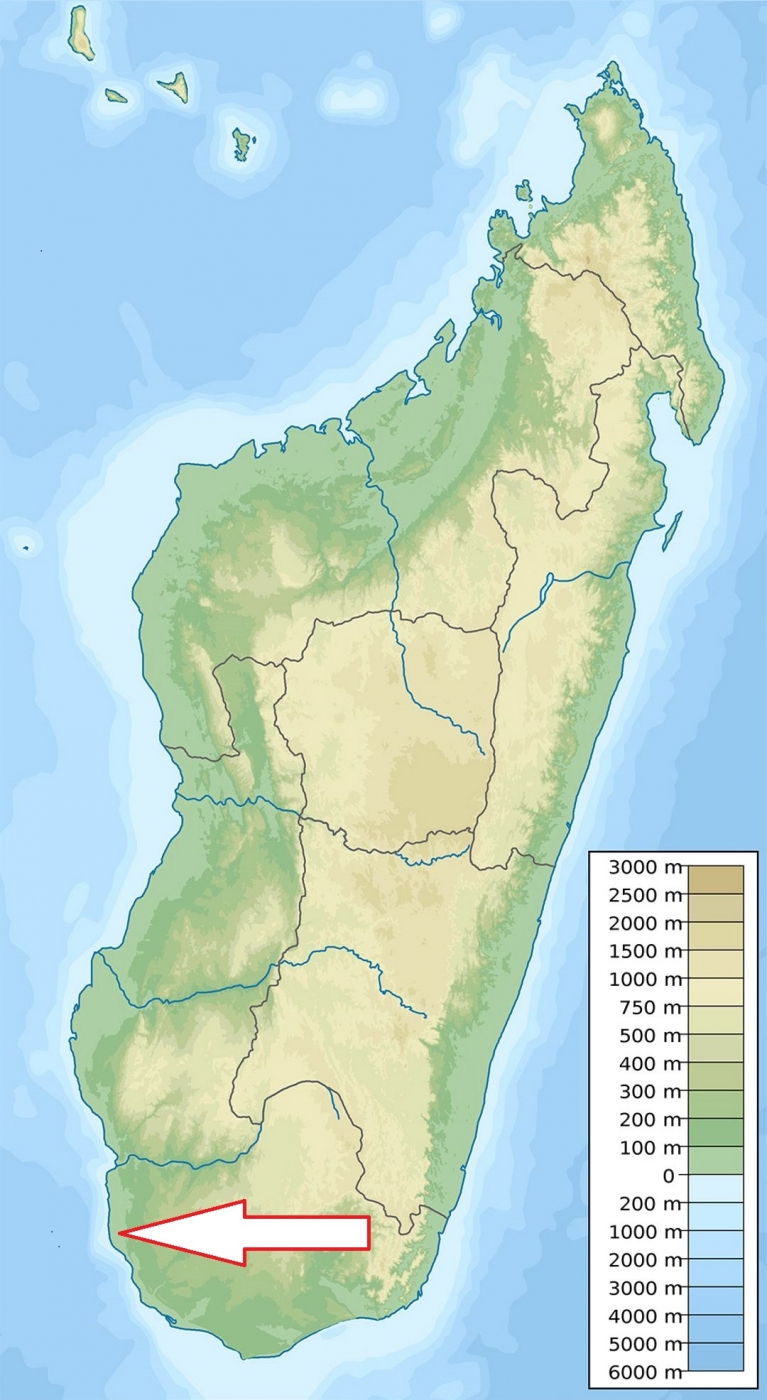
Southwest coast of Madagascar, 90 km south of Toliara.
Access
Quite difficult. Tsimanampetsotsa is approximately a 2-hour drive from Anakao, via a sandy track best driven by a 4x4.
Characteristic
432 km2;Westernmost part of waved limestone Mahafaly Plateau containing shallow Lake Tsimanampetsotse - the only salt lake in Madagascar. This is the area with the highest level of plant endemism in Madagascar, with 48% of the genera and 95% of the species endemic. The climate is hot and dry and the annual rainfall is less than 300 millimetres, which makes the area the driest in the country. The majority of rainfall occurs between late December and February and the dry season is long, with average durations of nine to eleven months. The minimum winter temperature averages 15 °C to 20 °C with maximum temperatures exceeding 40 °C in the rest of the year. Typical ecosystems: spiny forest, karst biotopes, salt lake.
Fauna + Flora
Species List - See the Attachment Below
(Species list may not be complete)
Possible activities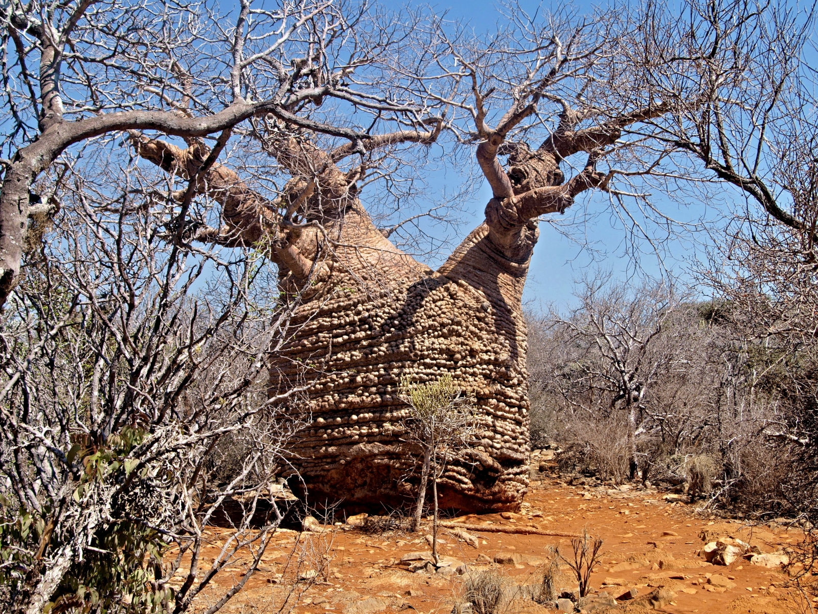
There are several hikes that leave from the campsite and parking area near the north end of the lake on the east side.
Note
Special attractions: Mitoho cave which lies at the end of the nature trail from. In a permanent lake within this limestone cave system lives a species of blind fish (Typhleotris madagascariensis) that feed on shrimp. Further - several huge, ancient Fony baobabs (Adansonia rubrostipa). One called "Grandmother" is made up of 3 fused trunks of different ages, with the oldest part of the tree an estimated 1,600 years old.
Very rich area in fossils.
Biosphere Reserve of UNESCO.
Contact us
Would you like any information on above mentioned national park or would you like to join us to travel there? Please, fill up the attached form.