Basic ecotouristic information on Garajonay National Park (Spain) - localization, access, characteristic, fauna and flora, possible activities.
Localization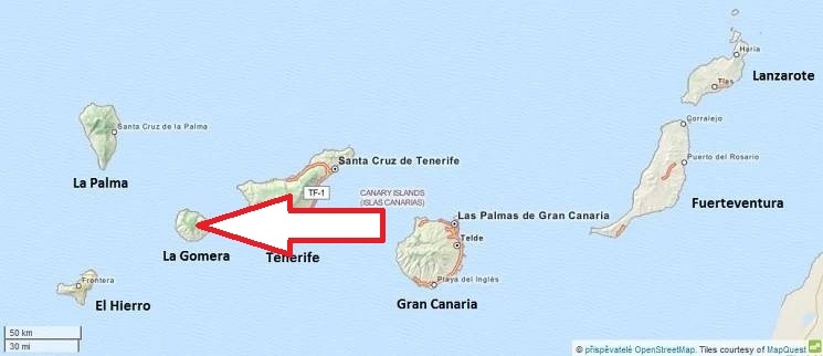
Canary Islands, Central and Northern part of La Gomera Island
Access
Easy. The park is easy to reach from any point on the island through the local road network which runs through it.
Characteristic
40 km2; Mountainous area which includes a small plateau whose altitude is 790–1,400 m above sea level. The park is named after the rock formation of Garajonay, the highest point on the island at 1,487 metres. Most humid and protected valleys oriented to the North have the richest and most complex forests. Other features of the national park are the massive rocks that are found along the island. These are former volcanoes whose shapes have been carved by erosion.Typical ecosystems: humid subtropical forest called "laurisilva" (also found on the Azores and the Madeira Islands), that in the Tertiary covered almost all of Southern Europe. Further ecosystems: temperate zone forests, rock biotopes.
Fauna + Flora
Species List - See the Attachment Below
(Species list may not be complete)
Possible activities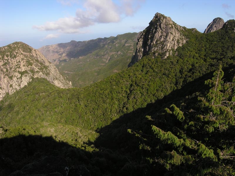
Excellent trekking paths (network of 18 footpaths).
Note
Remarkable rock formations
In August 2012, a forest fire burned 747 hectareas (18%) of this national park.
Park is listed in World Heritage Site by UNESCO.