Basic ecotouristic information on Mount Aspiring National Park (New Zealand) - localization, access, characteristic, fauna and flora, possible activities.
Localization
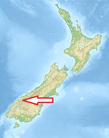
Western part of the Southern Island of the New Zealand north of Fiordland National Park, and between Otago and south Westland.
Access
Easy. Three settlements act as a gateway: Wanaka (117km from Queenstown via State Highway 6), Makarora and Glenorchy (68km north of Queenstown).
Characteristic
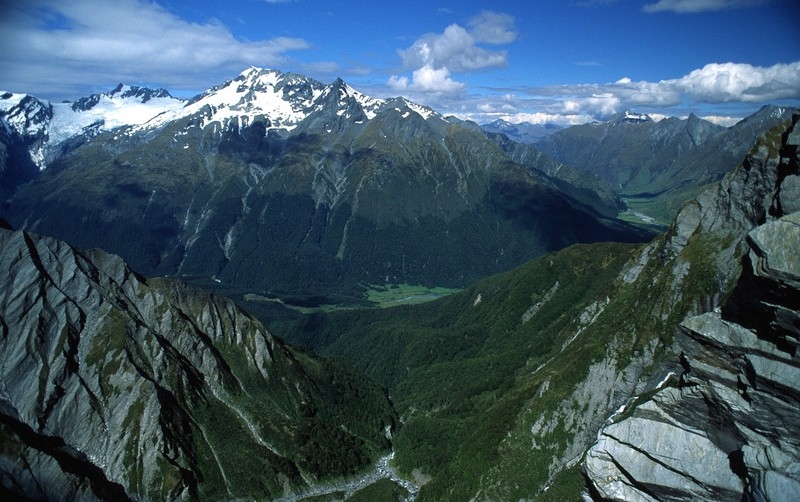
3 555 km2; Southern end of the Southern Alps, directly to the west of Lake Wanaka. A complex of impressively glaciated mountain scenery centred on Mount Aspiring/Tititea (3,036 m), New Zealand's highest peak outside of the main divide. Many phenomenons connected with glacier activities - mountain peaks, deep and very long valleys, remote wilderness. Typical ecosystems: mountainous and alpine ecosystems, temperate zone forests, freshwater ecosystems (rivers and glacial lakes).
Fauna + Flora
Species List - See the Attachment Below.
Possible activities
Very good conditions for walking and more difficult trekking - very popular site.
Rafting, mountaineering, fishing
Note
Landscape of extraordinary beauty.
One of the most unusual areas in the park is the Red Hills 'mineral belt' in the southwest. Here the concentration of magnesium in the soil is so high that only a few hardy plants survive.
