Basic ecotouristic information on Kahurangi National Park (New Zealand) - localization, access, characteristic, fauna and flora, possible activities.
Localization
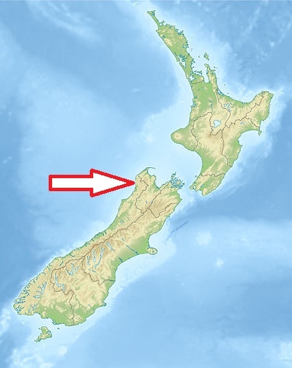
Northwest of the South Island of the New Zealand, about 60 km west of Nelson.
Access
Easy. Motueka, Murchison, Karamea and Takaka are the gateways to Kahurangi. Roads extend from these towns to the park.
Characteristic
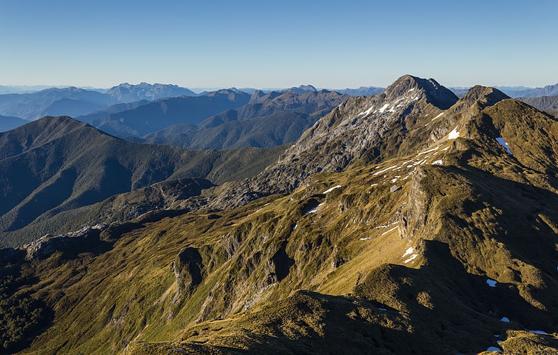
4 520 km2; Mountainous regions with many mountain plateaux. Most of the park is still wilderness. Rocky landscape mostly formed by sedimentary rocks (limestone and marble) - there are many caves and other karst phenomenons in limestone areas (some of worldwide deepest caves). The vegetation cover changes markedly from one side of the park to the other - it is dry climate in the east and wet in the west of the park. 80% of New Zealand's alpine species can be found in the high reaches of the park. Typical ecosystems: mountain and alpine ecosystems, temperate zone forests, freshwater ecosystems (many rivers nad lakes), marine and coastal ecosystems, karst.
Fauna + Flora
Species List - See the Attachment Below.
Possible activities
Excellent conditions for walking tourism and trekking - there are more than 570 km of walking and trekking trails. Trekking to some more remote parts of the national park maybe quite difficult.
Rafting, fishing, caving, kayaking.
Mountain biking is allowed on the Heaphy Track only.
Note
Extraordinary beauty of the landscape
Extremely interesting area from geological point of view. Very rich fossils findings including the oldest fossil found in New Zealand
