Basic ecotouristic information on Aoraki-Mt.Cook National Park (New Zealand) - localization, access, characteristic, fauna and flora, possible activities.
Localization
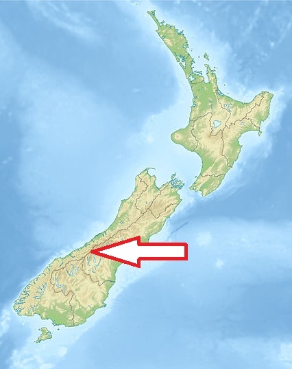
Central part of New Zealand´s South Island, 65 km far from the town of Twizel
Access
Easy. The only road access is via State Highway 80, which starts near Twizel and leads directly to Mount Cook Village.
Characteristic
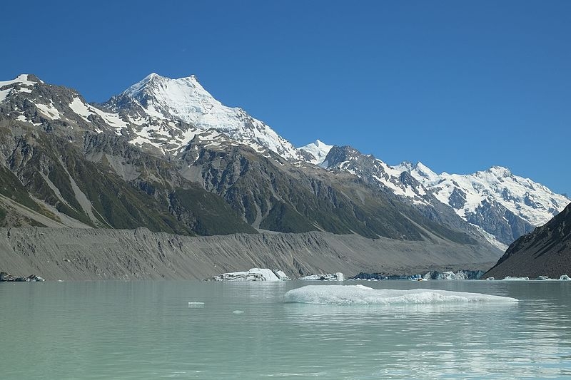
707 km2; Alpine national park containing New Zealand´s highest mountain Aoraki/Mt. Cook (3754 m) and its longest glacier, Tasman Glacier (29 km). Glaciers cover 40% of the park area. The park stretches for about 60 kilometres along the southwest-northeast direction of the Southern Alps. Of New Zealand's 20 peaks over 3,000 metres, all except Mount Aspiring lie in the park. Typical ecosystems: mountains lower than 4000 m, alpine biotopes (most of the park area is located above the tree level zone), temperate zone forests (small patches in valleys), freshwater ecosystems (lakes of glacial origin, rivers).
Fauna + Flora
Species List - See the Attachment
Possible activities
Excellent conditions for walking and trekking - about ten trekking trails
Mountaineering, skiing, skitouring, hunting, sightseeing flights, paragliding, mountain bikes, kayaking
Note
Landscape of outstanding natural beauty - national park is on the List of Natural Heritage of UNESCO
