Basic ecotouristic information on Bunaken National Park (Sulawesi, Indonesia) which can be visited - localization, access, characteristic, fauna and flora, possible activities.
Localization
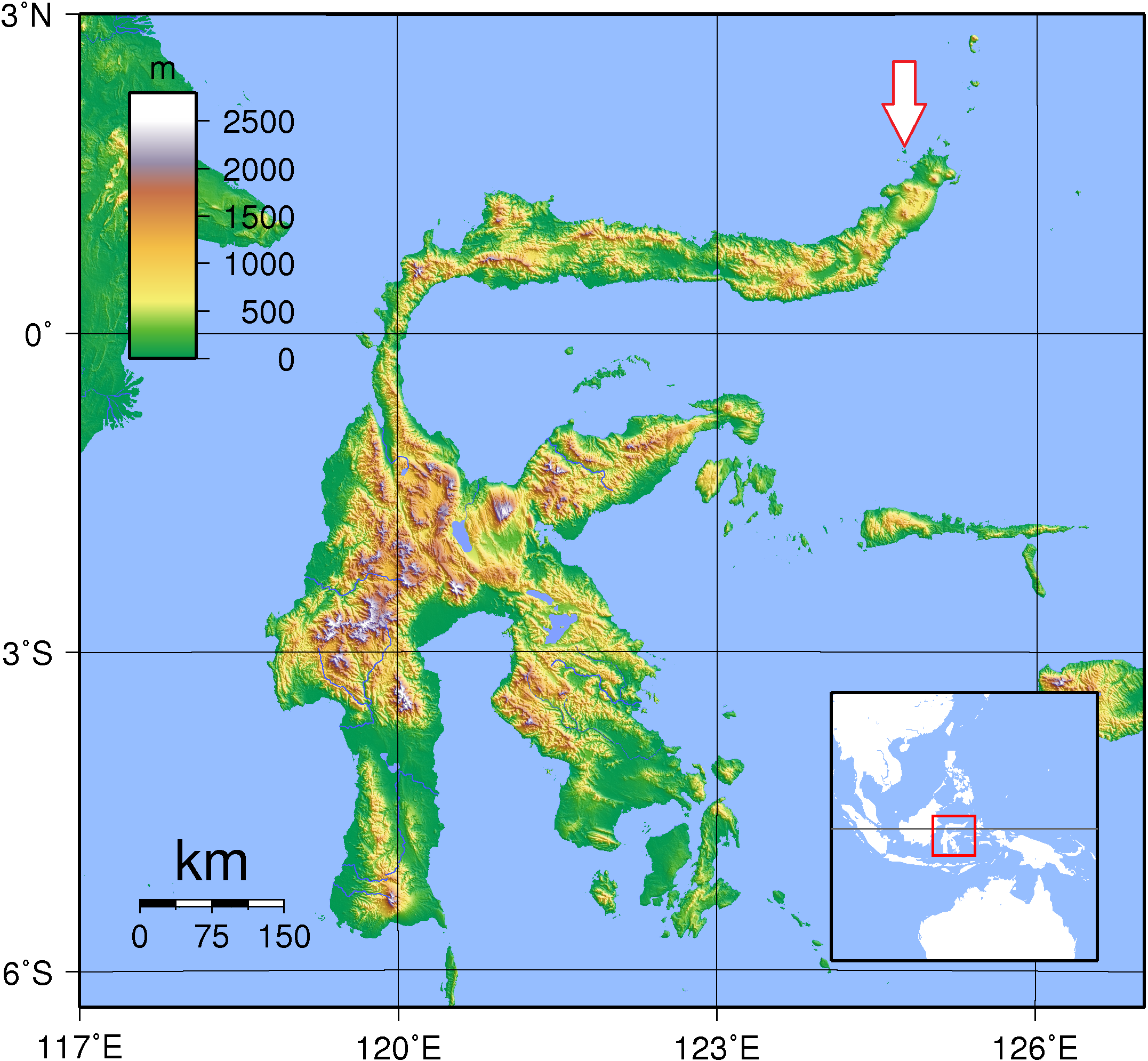
North Sulawesi
Access
Easy. 45 to 60 minutes by boat from Manado.
Characteristic
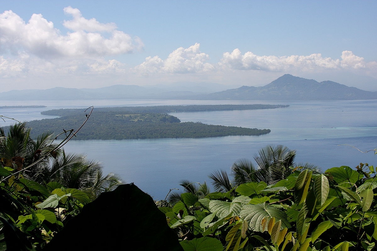
890 km2; Marine national park. Five islands of Bunaken, Manado Tua, Mantehage, Nain and Siladen. The southern part of the Park covers part of the Tanjung Kelapa coast. Manado Tua is an inactive volcano formed in a classical cone shape and rising over 600 m above sea level, the highest elevation in the park. Bunaken and Nain Islands also have volcanic origins. Mantehage Island is relatively flat and seems to be sinking into the sea. The island has extensive mangrove forest flats, partially separated by saltwater channels. Siladen is a low-lying coral sand island. The mainland part of the Park is relatively flat area at the base of volcanic hills. The sea depth between the islands of the park is 200 to 1,840 metres. Very clear water - visibility up to 35-40 m. Typical ecosystems: sea and sea coast (97% of the area), coral reefs, mangroves.
Fauna + Flora
Species List - See the Attachment
Possible activities
One of Indonesia's most famous diving and snorkeling areas. Dolphin and whale watching.
Hiking to some of the secluded coves on the eastern and northern part of Bunaken Island.
Fishing, but only outside of the park boundaries.
Note
Best time to visit VI-XI.