Basic ecotouristic information on Gunung Halimun National Park (Java, Indonesia) which can be visited - localization, access, characteristic, fauna and flora, possible activities.
Localization
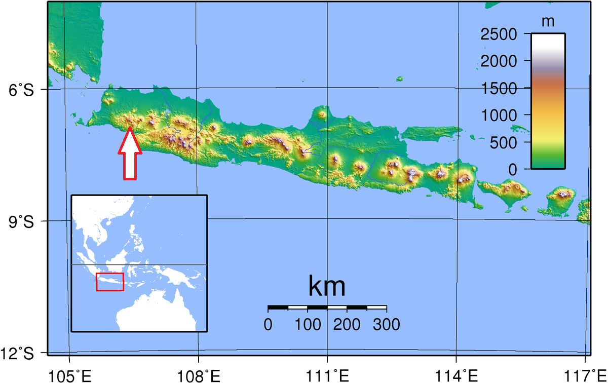
West Java, 50 km from Bogor
Access
Easy. The main access routes are :
1. Sukabumi - Parungkuda 20 km/20 minutes by public transport. Parungkuda- Cipeuteuy 30 km/1 hour by public transport.
2. Bogor-Leuwiliang 20 km/30 minutes by public transport. Leuwiliang-Nanggung 15 km/20 minutes by public transport. Nanggung-Cisangku 15 km/ 1 hour by motorcycle.
3. Rangkasbitung-Bayah 150 km/2 hours by public transport. Bayah-Ciparay 36 km/2 hours by public transport including motorcycle.
Characteristic
400 km2; Mountainous landscape comprising two mountain massifs - Mount Salak and Mount Halimun with many mountain peaks. Altitude of the park ranging from 500 to 1929m. Very wet climatic conditions, many waterfalls. Typical ecosystems: tropical rain forest, mountain forest, freshwater ecosystems (rivers). The largest tract of true rain forest now remaining on Java.
Fauna + Flora
Species List - See the Attachment
Possible activities
Trekking trails of various difficulty and lenght. Hiking to the peaks requires careful planning.
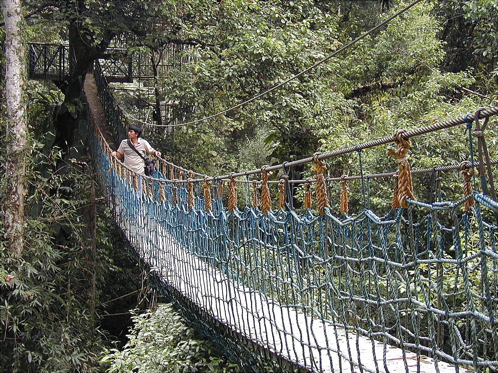
Camping, canopy trail , rafting
Note
The park contains water catchment areas shielded from urban populations an agricultural areas to the north.
The National Park plays an important role in supporting regional development and opportunities for research, education, eco-tourism and horticultural activities
Small hinduistic temple (Cibedung Temple) is situated inside the park.
Tea plantation is located close to the park entrance.
Hot springs
Best time to visit VI-VIII
Contact us
Would you like any information on above mentioned national park or would you like to join us to travel there? Please, fill up the attached form.