Basic ecotouristic information on Sahamalaza National Park (Madagascar) - localization, access, characteristic, fauna and flora, possible activities.
Localization
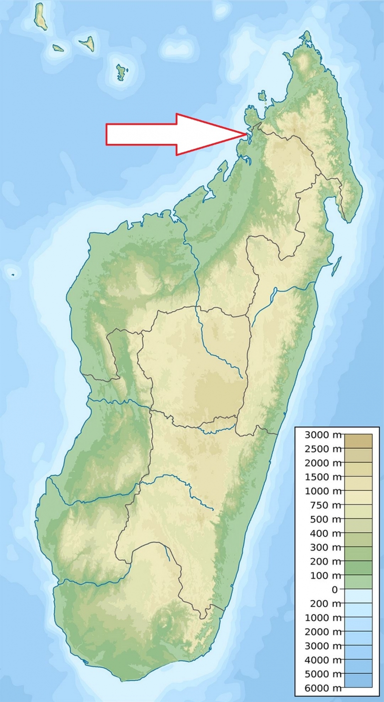
Northwest Madagascar, about 100 km south of Nosy Be and 80 km north of the city of Analalava.
Access
Quite easy - by boat from Nosy Be.
Characteristic
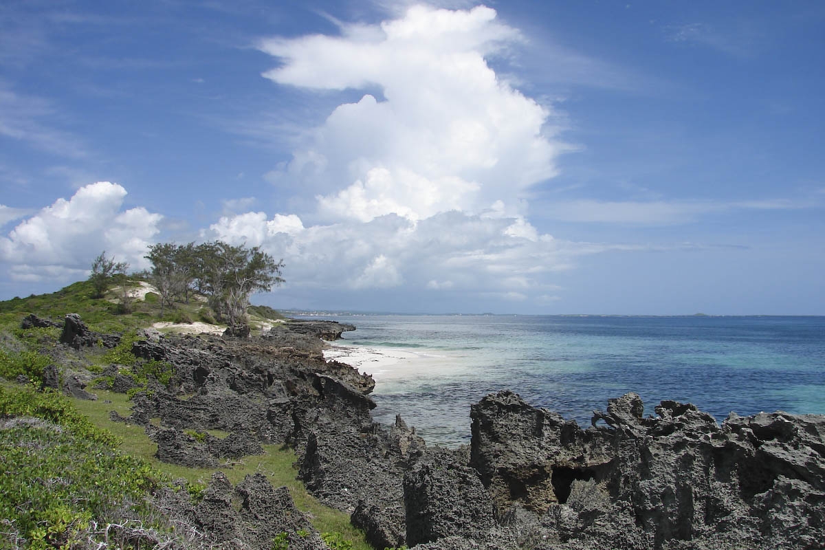
260 km2; Flat peninsula with steep slopes extending into Mozambique Channel, 30km long bay and abundant small rivers. Park altitude is 0-400 m a.s.l. About half of the park is underwater and comprises a network of coral reefs, while the remainder includes large area of mangroves (57 km2) along the northwest coast and 75 square kilometers of some of the last remaining dry littoral forest on the west coast. There are no larger connected areas of intact primary forest left on the Sahamalaza pennisula and all the remaining fragments show some degree of anthroprogenic disturbance. The climate is seasonal, with the dry season extending from May to October and the rainy season from November to April. Typical ecosystems: semideciduous dry forest, wetlands, mangroves, sea and sea coast, coral reefs.
Fauna + Flora
Species List - See the Attachment Below
(Species list may not be complete)
Possible activities
Some circuits and excursions across the mangroves and the littoral forest.
Swimming, snorkelling, scuba diving.
Note
Biosphere Reserve of UNESCO.
Best time to visit V-X.
Contact us
Would you like to have any information on above mentioned national park or would you like to join us to travel there? Please, fill up the attached form.