Basic ecotouristic information on Marojejy National Park (Madagascar) - localization, access, characteristic, fauna and flora, possible activities.
Localization
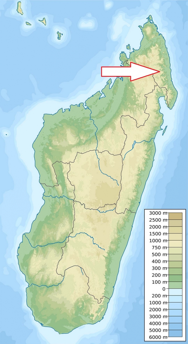
Northeastern Madagascar between the towns of Andapa and Sambava.
Access
Easy - on the main road from Andapa to Sambava (66 km from Sambava and 40 km from Andapa).
Characteristic
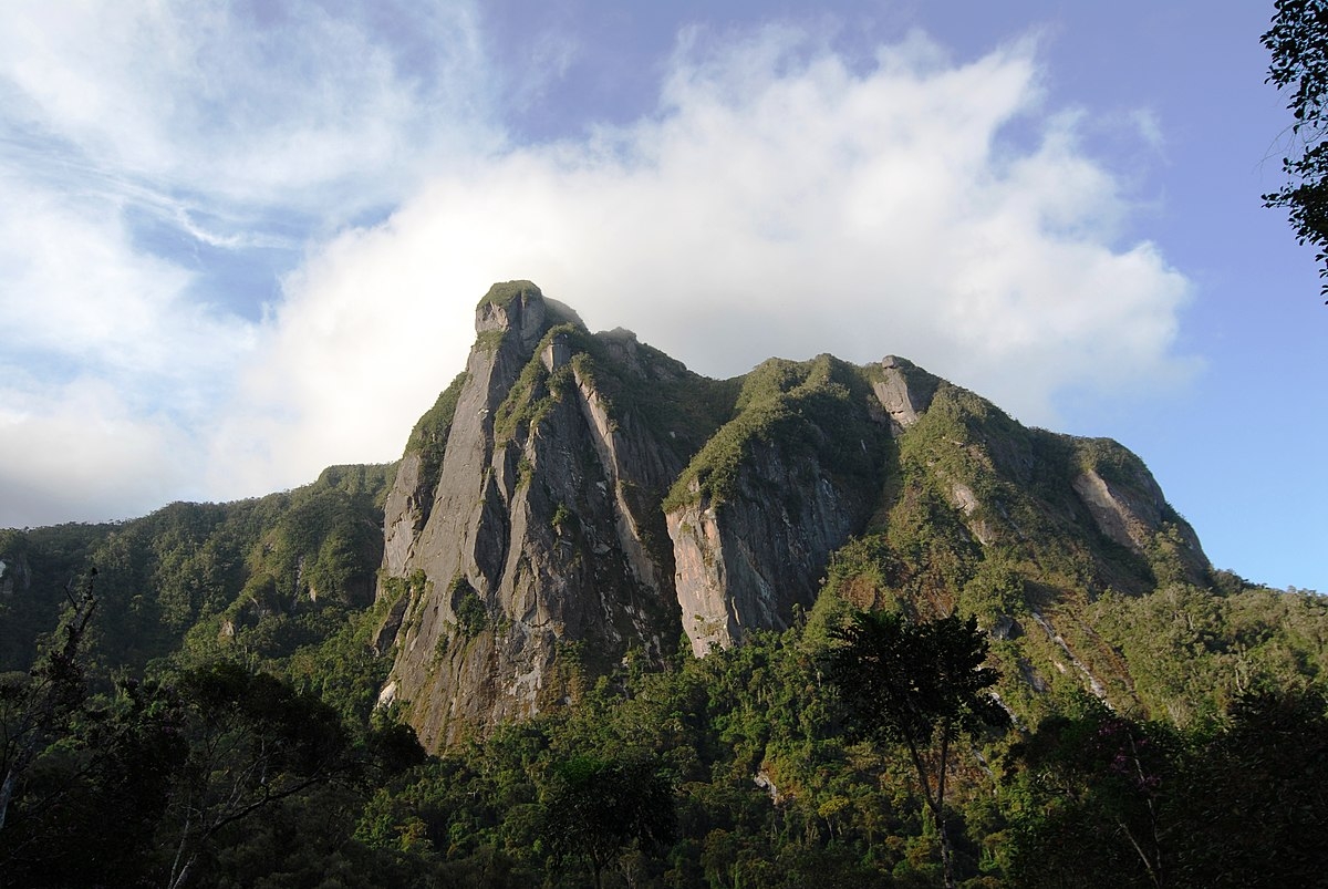
600 km2; Park is centered on the Marojejy Massif, a mountain chain which ranges in elevation from 75 to 2,132 m. The crests of the massif form an east–west line with a series of distinct peaks along its irregular structure, which consists of parallel or divergent crest lines broken apart by steep and irregular slopes. In general, the northern flanks of the massif rise along relatively gentle slopes, then break on the south sides in sheer vertical rock walls many hundreds of meters high. It extends approximately 32 km from east to west and 22 km from north to south. Due to the rugged topography, the vegetative mosaic varies between the crests and slopes of the massif, even at the same elevations. February is the hottest month, averaging 25 °C, while August is the coolest, averaging 19 °C. Temperatures on the summit decline to 1.5 °C in July. Rain falls every month on the southern side of the mountain, with the region receiving at least 2,300 mm of rain annually, making it one of the wettest areas in Madagascar. The northern side of the mountain is more tropical, with a 6-month dry season, and receives about 1,500 mm of rain per year. The mountains of Marojejy and nearby feed several drainage basins, including the Lokoho River, which is sourced from the western and southern slopes of Marojejy, and the Androranga River, which originates from the northern slopes of Marojejy. Typical ecosystems: lowland rain forest, mountain rain forest, cloud forest, mountain scrub, freshwater ecosystems.
Fauna + Flora
Species List - See the Attachment Below
(Species list may not be complete)
Possible activities
Trekking - one path leads from the entrance of the park to the summit. There are three camps along the route.
Note
Park is opened all the year round, best time to visit IV – V and IX – XII.
World Heritage Site of UNESCO
Contact us
Would you like to have any information on above mentioned national park or would you like to join us to travel there? Please, fill up the attached form.