Basic ecotouristic information on Andohahela National Park (Madagascar) - localization, access, characteristic, fauna and flora, possible activities.
Localization
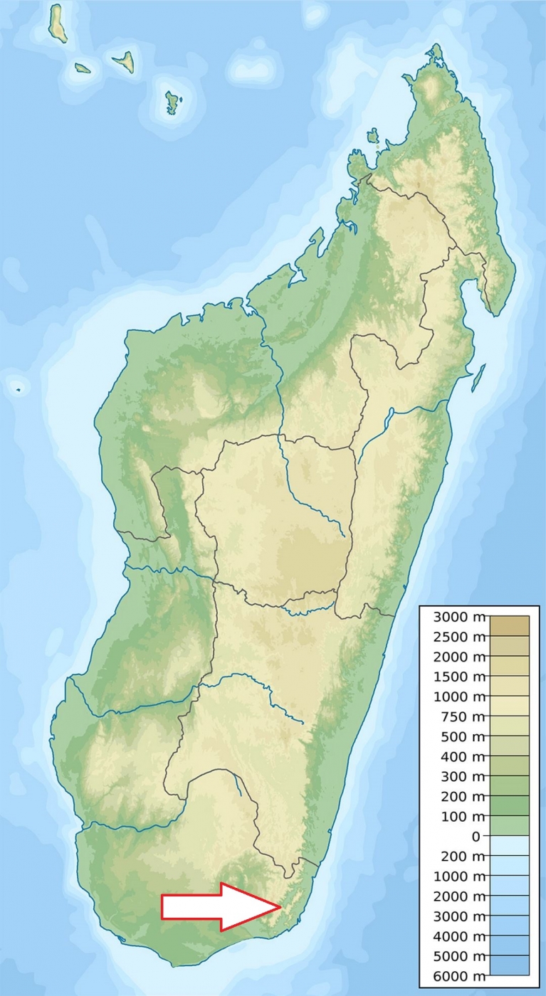
South-east Madagascar, 40 kilometres north-west of Tolanaro (Fort Dauphin).
Access
Easy by road from the town of Tolanaro.
Characteristic
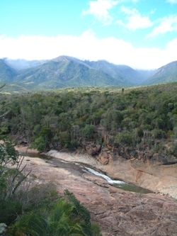
760 km2;Anosy mountain range, the southernmost spur of the Malagasy Highlands. The park is divided into three zones. The first, Malio, ranges from 100 metres to the summit of Pic d' Andohahela at 1,956 metres. The second, Ihazofotsy-Mangatsiaka, with altitudes ranging from 100 metres to 1,005 metres at the summit of Pic de Vohidagoro. The third zone, Tsimelahy, is mainly at an altitude of 125 metres forming a transitional zone between wet eastern part and dry western part. The mountains form a natural barrier to the moist trade winds that blow from the east, causing on the eastern side a rainfall of 1,500–2,000 millimetres per year that supports the only rainforest south of the Tropic of Capricorn. At the western edge of the park, the rainfall is just 600–700 millimetres per year and the resulting vegetation is a dry spiny forest characteristic of southern Madagascar. Average temperature is 20-26oC. Park is remarkable for the extremes of its habitats. Typical ecosystems: dense rainforest, dry spiny forest, unique Ranopiso transitional forest, wetlands, freshwater ecosystems.
Fauna + Flora
Species List - See the Attachment Below
(Species list may not be complete)
Possible activities
Trekking - several circuits within each of the habitat types of the park (one or two-days trek).
Mountain bikes.
Note
Not frequented national park
Many accommodations are found, not far from the park.
Best time to visit IV-X.
Contact us
Would you like any information on above mentioned national park or would you like to join us to travel there? Please, fill up the attached form.