Photogallery of pictures taken during journeys and expeditions to the Manambolo River (Madagascar).
The Manambolo River originates in the highlands of Madagascar, located 130km west of Antananarivo. It crosses the Tsingy de Bemaraha National Park.
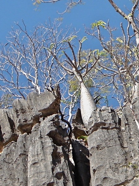
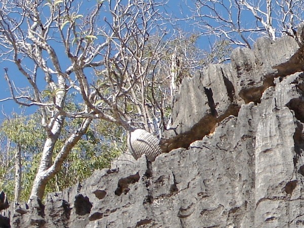
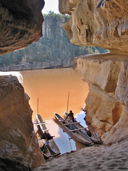
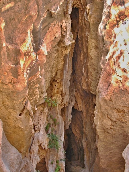
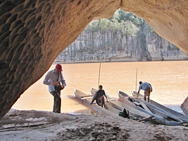
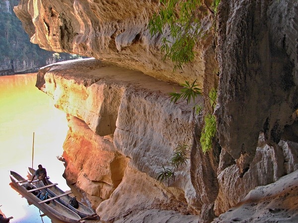
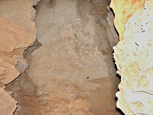
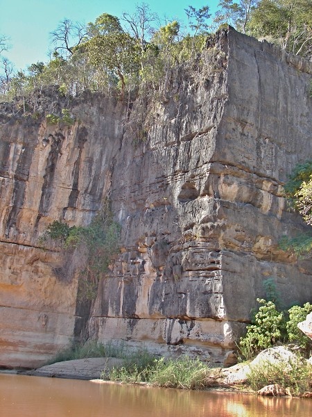
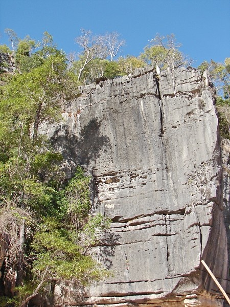
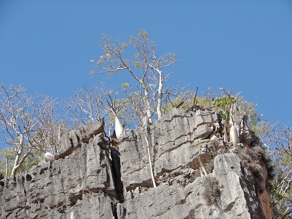
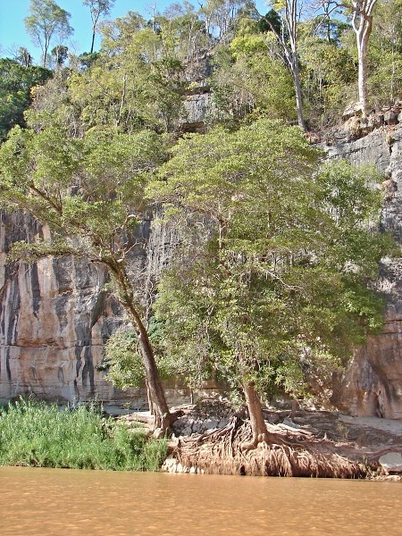
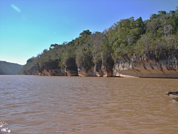
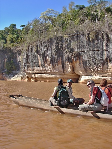
Its deep red-orange water in color from eroded sediment, descends through a largely deforestated landscape as it heads toward the Mozambique Channel. About 70 km before reaching the sea, the river enters the Manambolo canyon. The canyon is spectacular with colorful sandstone cliffs and thick cover of deciduous forest. In the lower part of the canyon, the river loses its current and becomes a pool. After several miles of this it leaves the canyon and and enters the village of Bekopaka.
If you have any questions to joureys/expeditions to the Manambolo River region or any comment to a photogallery use the information form attached below.