Basic ecotouristic information on Bosque de Fray Jorge National Park (Chile) - localization, access, characteristic, fauna and flora, possible activities.
 Localization
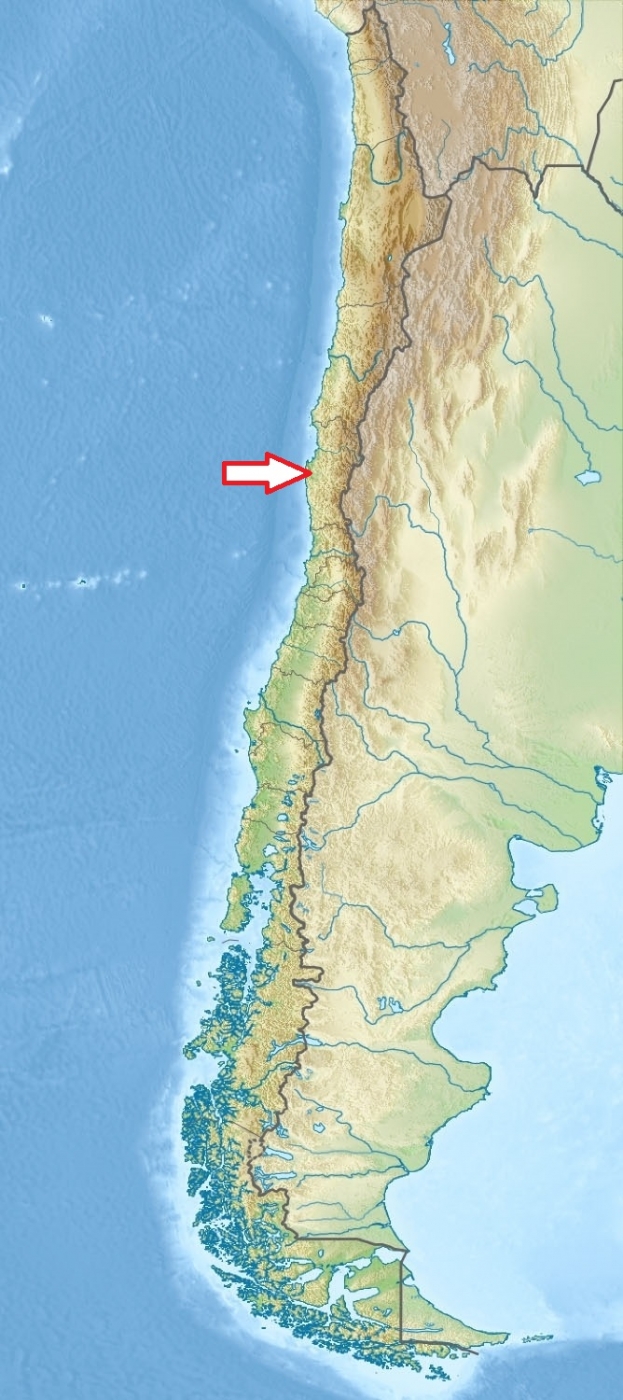
North of the Central Chile, about 450 km to the north of Santiago, approximately 30 km to the west of Ovalle
Access
Easy. About 6 hours drive from Santiago along Panamerican Highway. There are two roads from Ovalle to the park.
Characteristic
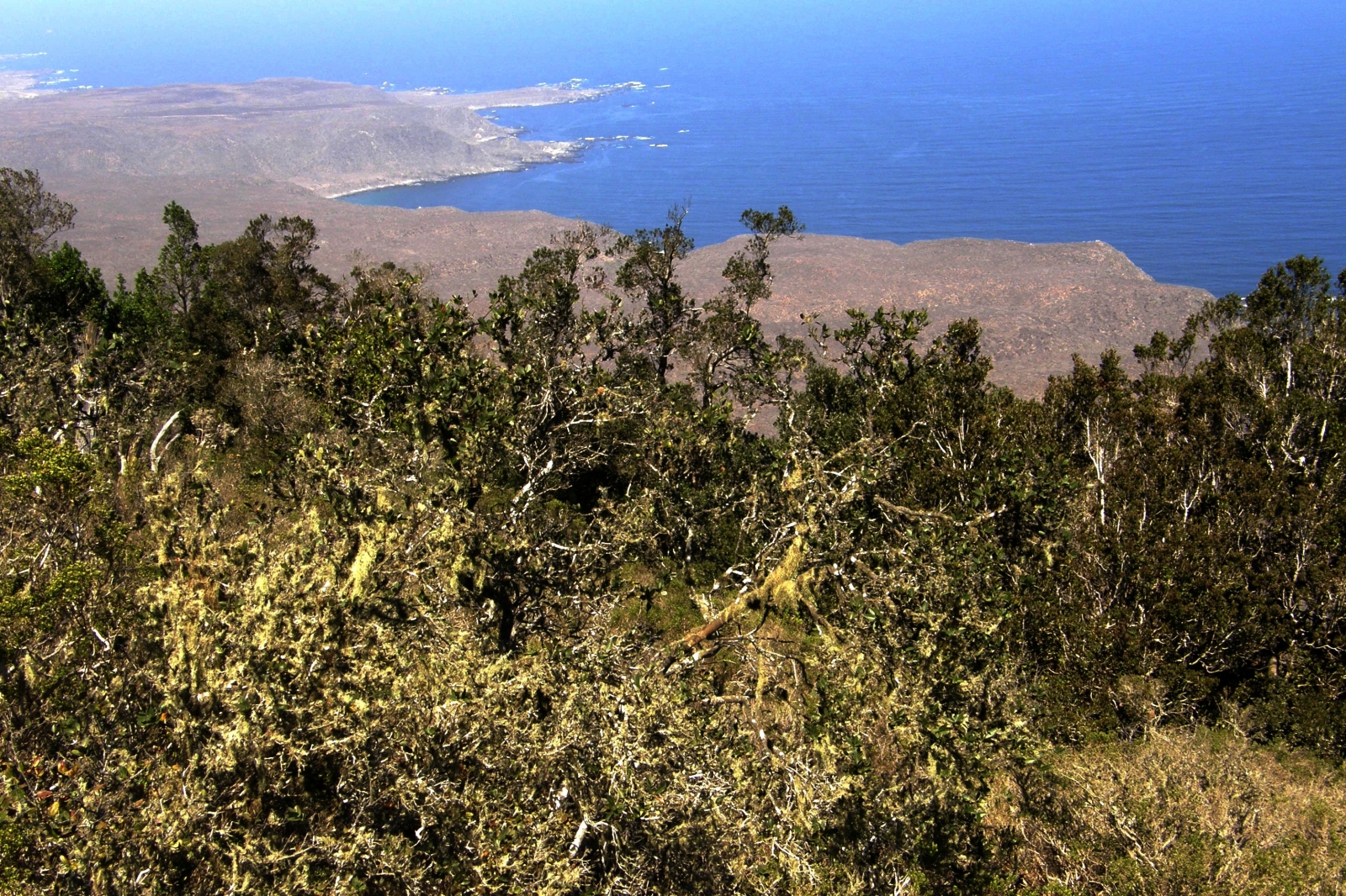
100 km2; Mountainous area (the highest peak of Punta del Viento reaches 667 m) in the Altos de Talinay, which is part of the Chilean Coastal Range close to the Atacama Desert and coastal plains. The only natural water resource the park holds is the river Limari on the south park border. The forest is a vestigial survival of the last glacial period. The nearest similar ecosystem occurs 1250 km south. Typical ecosystems: northernmost Valdivian temperate zone forests, but the forests cover only 4% of park´s surface; the coastal fog hangs on the mountain-slopes and moistens subtropical vegetation, allowing the hydrophilic cloud forests to survive despite of being surrounded of semiarid scrublands, with average annual rainfall of approximately 113 mm.
Fauna + Flora
Species List - See the Attachment Below
(Species list may not be complete)
Possible activities
Wildlife observation, birdwatching
Excellent conditions for walking tourism throughout the entire park. Interpretive trail through the forest.
Note
The park is a UNESCO Biosphere reserve.
Best time to visit VIII-XI
Park is open to public only in weekends and holidays.