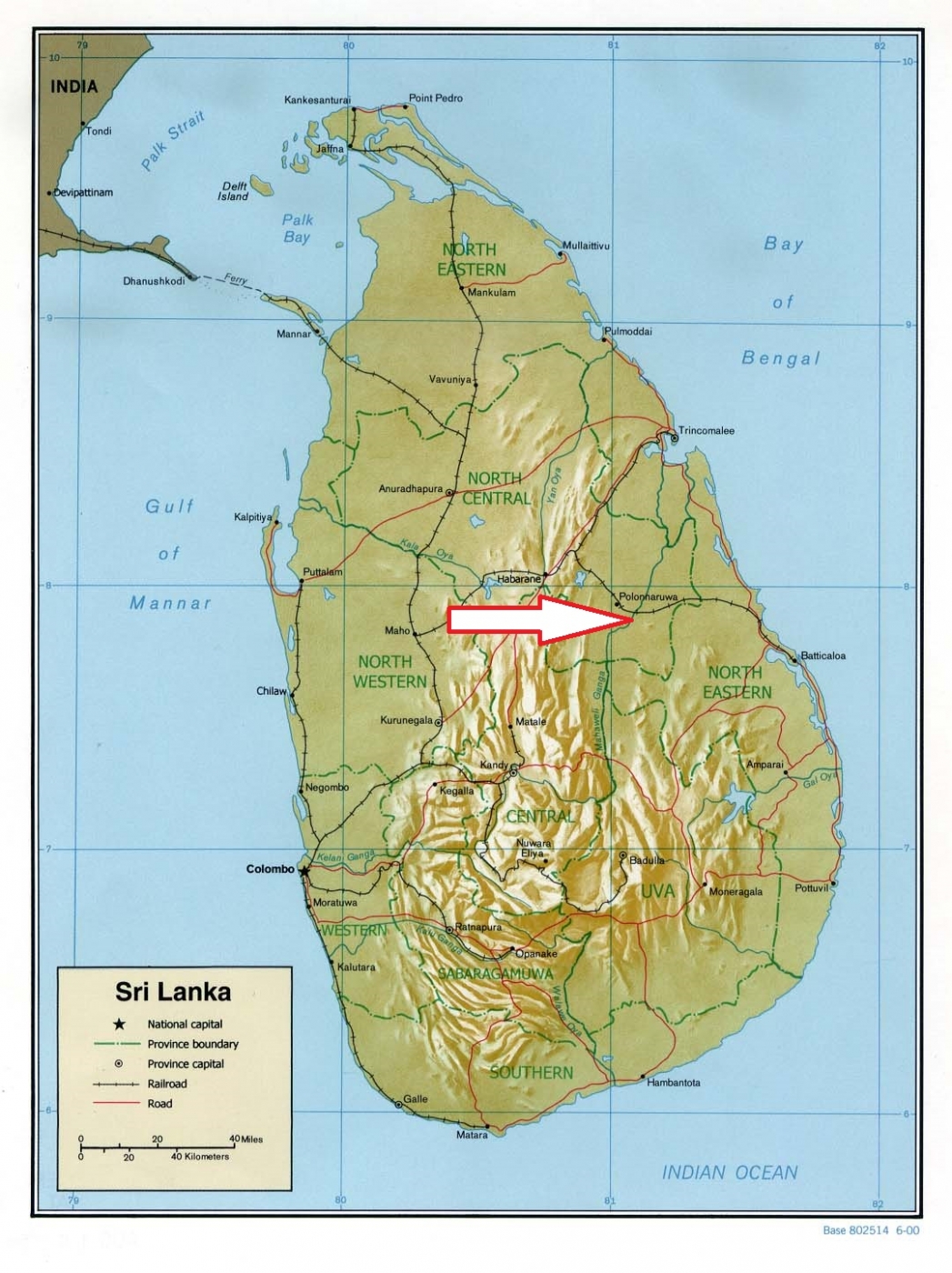
Basic ecotouristic information on Flood Plains National Park (Sri Lanka) - localization, access, characteristic, fauna and flora, possible activities.
Localization
Northeastern part of the Central Province Sri Lanka, close to Polonnaruwa, 233 kilometres north-east of Colombo.
Access
Easy. Along the road next to the touristic centre of Polonnaruwa.
Characteristic
170 km2; Flat ladscape without any higher hills. The park's elevation range from 20–60 metres. This park was created along part of the River Mahaweli. It flows from south to north through the centre of the park. The rich alluvial soil flood plains situated beside the river are featured by a number of shallow swampy depressions called "villus". Around 38 villus have been recorded from the floodplains. The villus stay inundated even during the dry season. Typical ecosystems: swamp forest, system of wetlands composed of river channels, riverine marshes, mangroves, lagoons, and tidal creeks associated with the Mahaweli River, seasonally flooded grasslands . Its importance is because it creates a link between the Wasgomuwa National Park and the Somawathiya Chaitiya National Park, providing a safe corridor of passage for migrating wildlife, especially elephants between the two parks. Important refuge for a wide variety of resident and migratory waterfowl species.
Fauna + Flora
Species List - See the Attachment Below
(Species list may not be complete)
Possible activities
Birdwatching + nature observation
Safari jeep rides
Note
Best time for visit V-IX
Many cultural and historical monuments in the park
