Basic ecotouristic information on Manyara Lake National Park (Tanzania) - localization, access, characteristic, fauna and flora, possible activities.
Localization
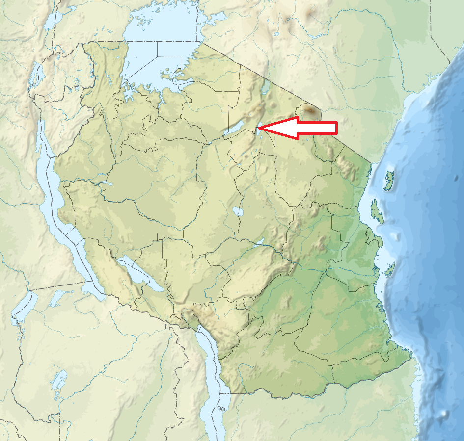
North Tanzania; 126 km southwest of Arusha
Access
Easy. It can be reached by car in an hour and a half from Arusha.
Characteristic
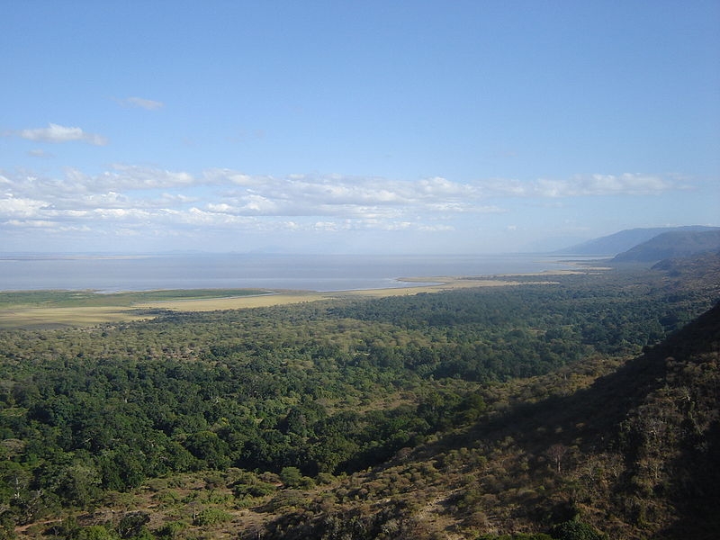
330 km2; Up to 200 km2 of the total area is lake when water levels are high. The majority of the land area of the park is formed by a 50 km long narrow strip running between 600 m high Gregory Rift rock wall to the west and Manyara Lake to the east. The level of the lake fluctuates considerably between seasons and between years. Altitude 960 – 1 478 m. Waterfalls in the southern part of the park. Typical ecosystems: saline biotopes around the lake, freshwater ecosystems, savannah, acacia woodlands, dry forest.
Fauna + Flora
Species List - See the Attachment
Possible activities
Safari drives through the park, night safari drives
Canoeing when the water levels is sufficiently high, mountain bike tours, forest walks on the escarpment outside the park
Note
Greatest biomass density in the world
Best time to visit: VII-X (game observation), XI-VI (birdwatching)
Hot springs
Northern part of the park gets crowded in the afternoons during peak season (June and July and October to April).
Contact us
Would you like any information on above mentioned national park or would you like to join us to travel there? Please, fill up the attached form.
