Basic ecotouristic information on Yasúní National Park (Ecuador) - localization, access, characteristic, fauna and flora, possible activities.
Localization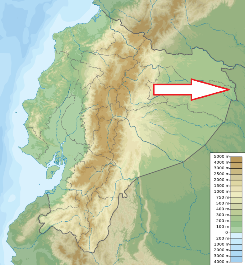
Eastern Ecuador, about 250 km east of Quito
Access
Difficult. From Quito by air or land to the Puerto Francisco de Orellana city. From here, depending on the destination, there are several routes, mainly by river.
Characteristic
9 823 km2, Wide plains of Amazon lowlands with small hills between Napo River in the northern part of the park and Curaray Rivers in the southern part. Between both rivers there is a complex network of many smaller rivers. The nearby river banks and plains get flooded periodically when the rain intensifies. In the area close to the border with Peru, the the soil has low permeability which means that rain water accumulates to form extensive marshes or swamps. Altitude range 190 to 400 m. Extraordinary fauna and flora biodiversity. Typical ecosystems: three types of rain forests - Terra firme', found on the high reliefs areas and not subject to flooding; 'Varzea', a forest type subject to periodic flooding, and 'Irapo' in the permanent or near permanent flooded forest; important wetlands and river ecosystems, several lagoons.
Fauna + Flora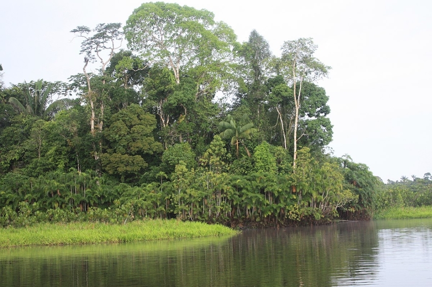
Species List - See the Attachment Below
(Species list may not be complete)
Possible activities
Hiking - several trails through the forest.
Canoeing along rivers in the forest.
Note
UNESCO Biospheric Reserve
The park is threatened by the oil production
Yasuní is home to two voluntarily isolated indigenous tribes, the Tagaeti and the Taromenane.
Best time to visit I-III.