Basic ecotouristic information on Llanganates National Park (Ecuador) - localization, access, characteristic, fauna and flora, possible activities.
Localization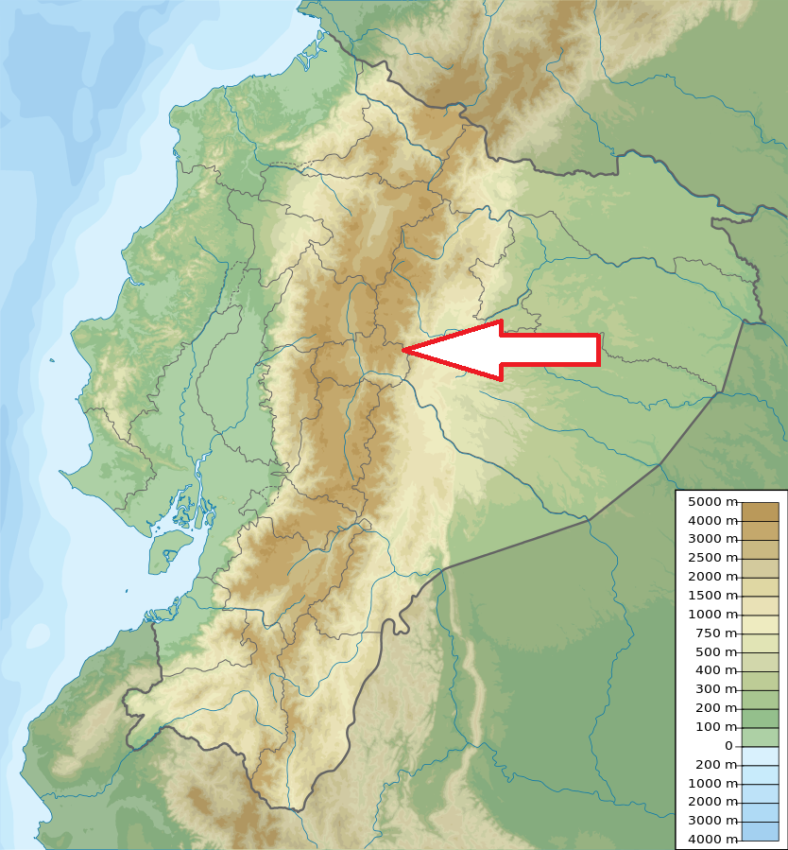
Central Ecuador; 30 km northeast of Ambato, about 130 km southeast of Quito.
Access
Quite difficult. The park can be accessed from a number of directions, but visitors usually come through towns such as Salcedo, Patate, Pillaro, Baňos and Rio Verde.
Characteristic
2 197 km2; Remote and vaste mountain range (860 - 4571 meters) of Central Andes. The highest mountain of the par is Cerro Hermoso. The park is divided into two ecological zones, the western zone and the eastern zone. The western zone is located in the Andean páramo, high above the eastern zone, containing a deserted landscape of mountainous peaks and high valleys. The eastern zone is located on the eastern flanks of the Andes, with montane forests characterized by a rich diversity of plants and animals among the twisted forests of the upper Amazon. This area is highly unreachable, and is usually traversed only by foot. The large number of rivers, emptying out the Andes also makes this area difficult to cross. More than 200 lakes and lagoons have been recognized in the park. Annual precipitation ranging between 1,000 mm and 4,000 mm, temperature ranges between 3 and 24 ° C. Typical ecosystems: mountain and alpine biotopes, rain forest, cloud forest, mountain steppe (páramo), freshwater ecosystems (lots of rivers, lagoons and waterfals), wetlands. High level of endemism.
Fauna + Flora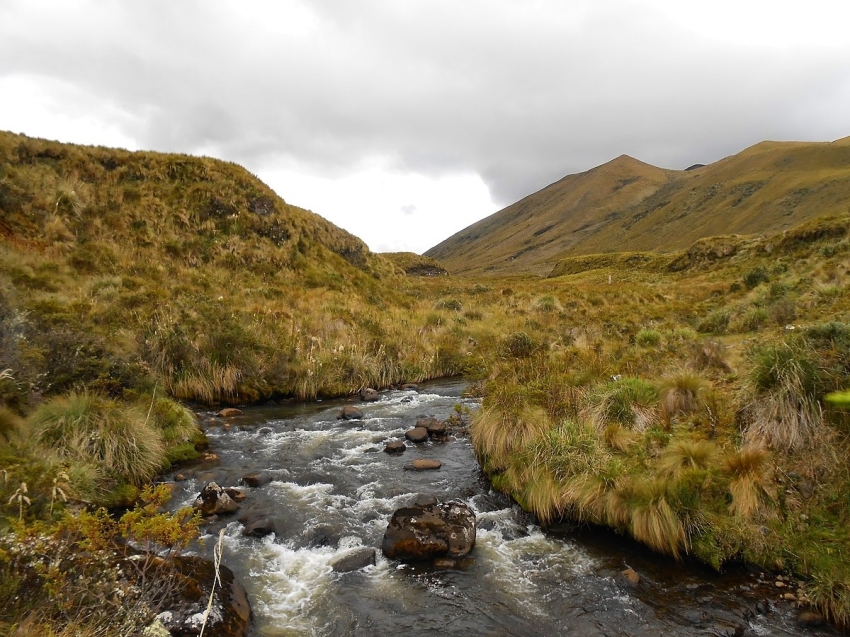
Species List - See the Attachment Below
(Species list may not be complete)
Possible activities
Trekking - often difficult trails.
Mountaineering, mountain bikes, horse riding, fishing.
Note
Greater part of the park is poorly mapped or unmapped
Legend says it that Atahualpa's ransom in gold was hidden here hundreds of years ago.
In 2013, explorers discovered and unearthed a 260 ft tall by 260 ft wide structure, made up of hundreds of two-ton stone blocks, and believe there could be more, similar constructions over an area of about a square mile. The area is 20 miles from the town of Baňos but the trek takes around eight hours through swampy and mountainous jungle. The area of discovery is at an altitude of 8,500 ft above sea level and in cloud forest.
Best time to visit XII-I.