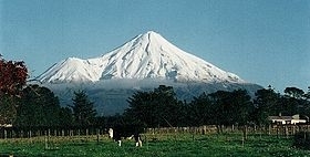
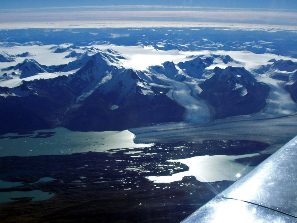
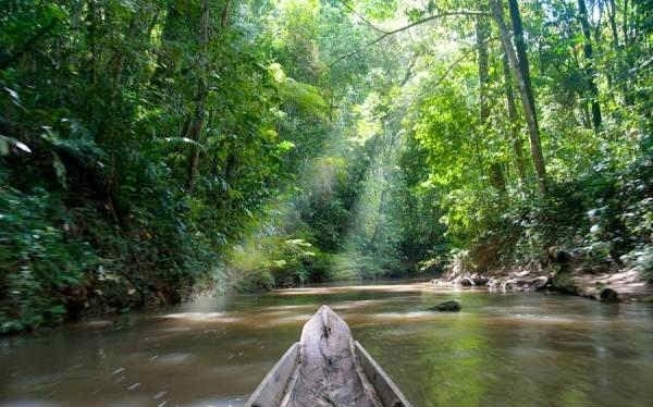
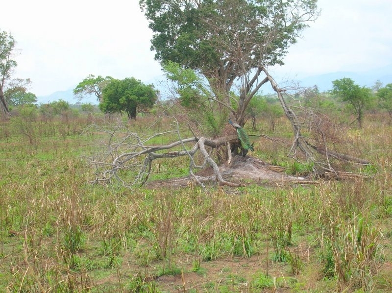
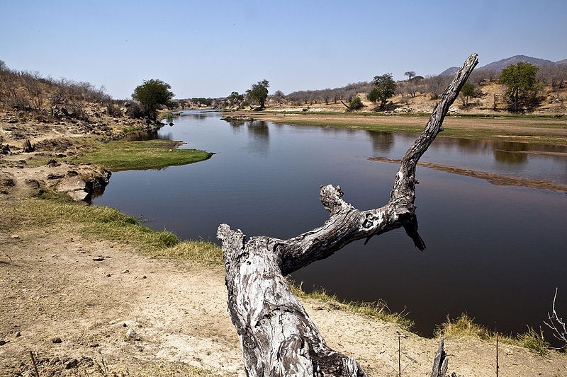
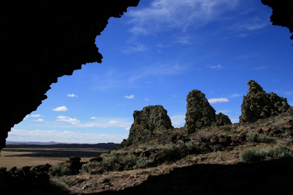
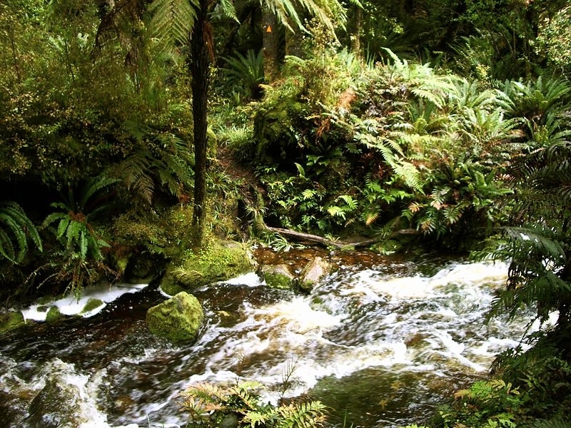
Basic ecotouristic information on Cayambe-Coca National Park (Ecuador) - localization, access, characteristic, fauna and flora, possible activities.
Localization
Central Ecuador; 38 km northeast of Quito
Access
Easy. From Quito along the Panamericana Norte until you reach the city of Cayambe (78 km). From here you can choose proper park entrance.
Characteristic
4 031 km2; The park includes two very different regions of Ecuador, the high altitude sierra with dormant Cayambe volcano (third highest mountain of Ecuador - 5,790 m) and the hot, humid rainforest of the Amazon basin as well as the intervening temperate cloud forest. Beside the Cayambe volcano there are two more peaks higher than 4000 meters - Saraurco (height of 4,725 m) and Cerro Puntas (height of 4,425 m), the latter formed by 48 immense rocky 'teeth' that give it a unique aspect. The park has a system of 80 glacier lagoons. San Rafael Waterfall is 160 meters high. The temperature varies according to altitude from 5 to 30 ° C. Typical ecosystems: mountainous steppe (páramo), lowland rain forest, primary cloud forest, freshwater ecosystems (lakes, rivers, waterfalls), wetlands, alpine and volcanic biotopes.
Fauna + Flora
Species List - See the Attachment Below
(Species list may not be complete)
Possible activities
Walking tourism - many trekking paths.
Mounaineering, climbing up the volcano summit (exhausting and dangerous - often avalanches), horseback riding, mountain bikes, fishing
Reventador volcano which is known for its violent eruptions should generally be avoided.
Note
There are three entrances, and the one chosen by the visitor will reflect which region they wish to visit.
Hot and mineral springs - bathing
Best time to visit IV-XI.