Basic ecotouristic information on Queulat National Park (Chile) - localization, access, characteristic, fauna and flora, possible activities.
 Localization
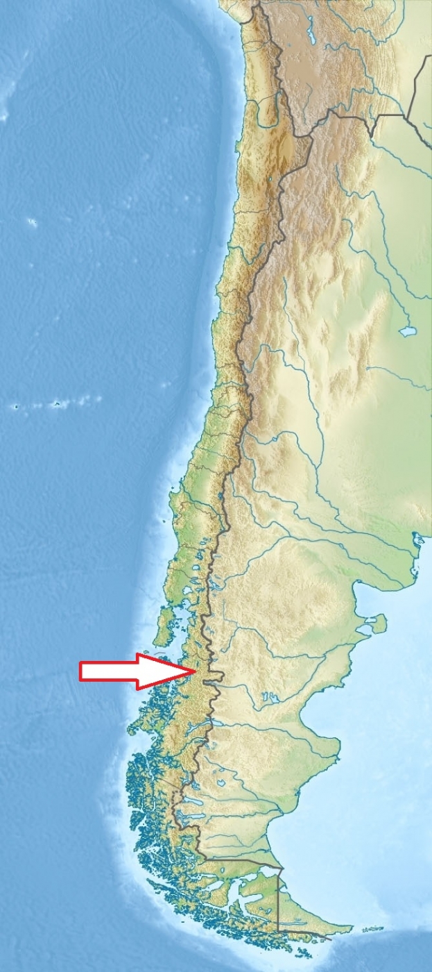
South Chile; 170 km northeast of Coyhaique, Puerto Puyuhuapi is 50 km northeast of the park's south entrance.
Access
Easy. From Coyhaique to Queulat NP take the first stretch of the Austral Highway, towards Puerto Aisén (paved), and before arriving at this city take the turn heading north. 27kms are paved and the rest is gravel.
Characteristic
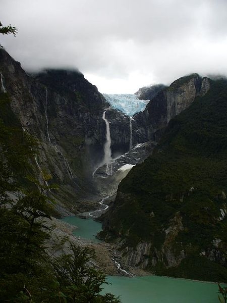
1 541 km2; The park is bordered by the Cisnes River on the south side and is neighbor to Lago Rosselot National Reserve. Mounainous region of western slopes of Patagonian Andes with the highest peak of Cerro Alto Nevado at 2225 metres above sea level. The park comprises two small ice fields, with small glaciers of up to 12 km long. The largest glaciated area is Queulat ice cap, which encompasses about 80 km2 and contains the park's centerpiece, the Queulat Hanging Glacier. Puyuhuapi Volcanic Group form part of the park. Humid climate with lots of rain year round.Typical ecosystems: temperate zone forest (Valdivian rain forest), alpine and volcanic biotopes, freshwater ecosystems (rivers and lakes), coastal biotopes (fjords).
Fauna + Flora
Species List - See the Attachment Below
(Species list may not be complete)
Possible activities
Very good conditions for trekking - several trekking trails
Fishing, swimming, mounaineering, sea kayak
Note
Extraordinary beautiful landscape
Pak is accessible all the year round, the best time IX-IV.
Contact us
Do you like any information on the national park mentioned above or would you like to join us while travelling there? Please, fill up the attached form