Basic ecotouristic information on Cabo de Hornos National Park (Chile) - localization, access, characteristic, fauna and flora, possible activities.
 Localization
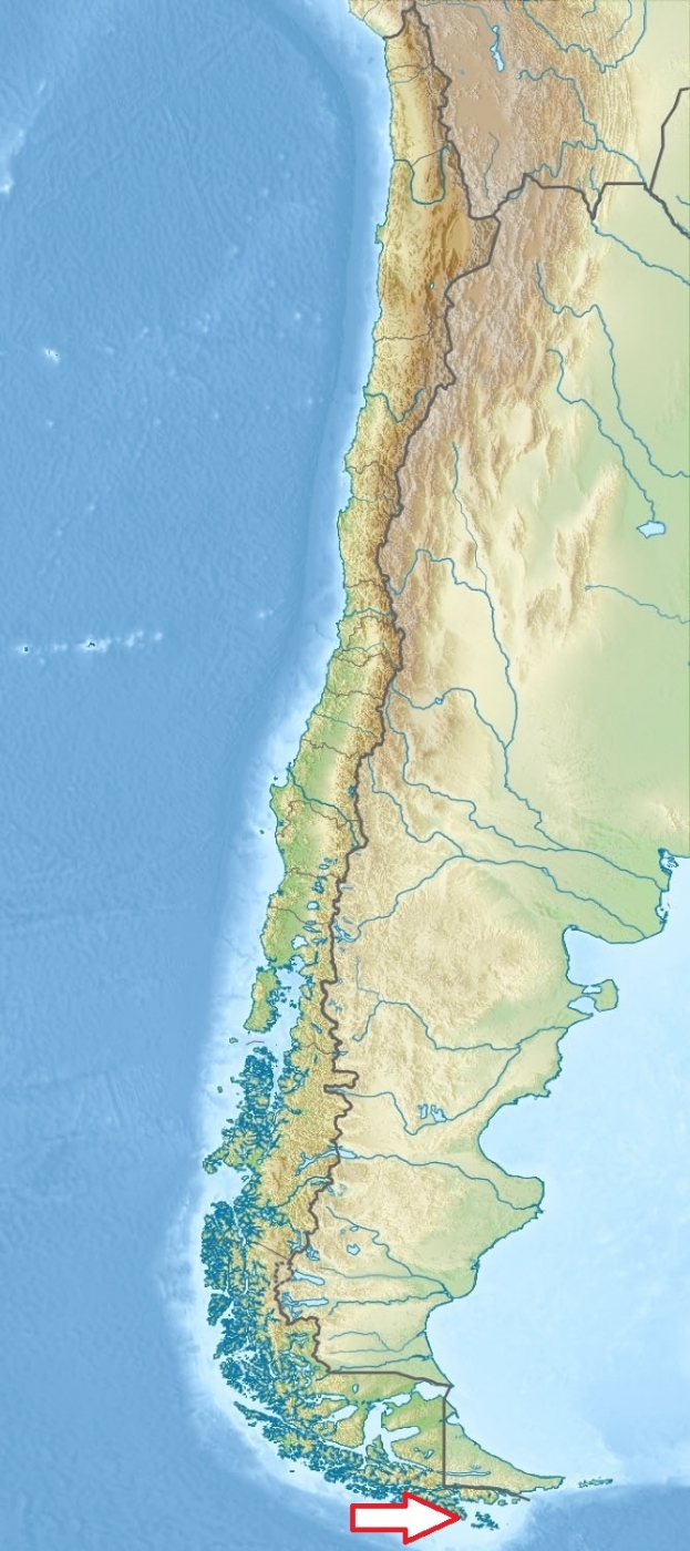
Southernmost part of Chile (Terra del Fuego) - Cape Horn Archipelago
Access
Difficult - by boat or by air only. 12 hours by boat from Puerto Williams through Beagle Channel.
Characteristic
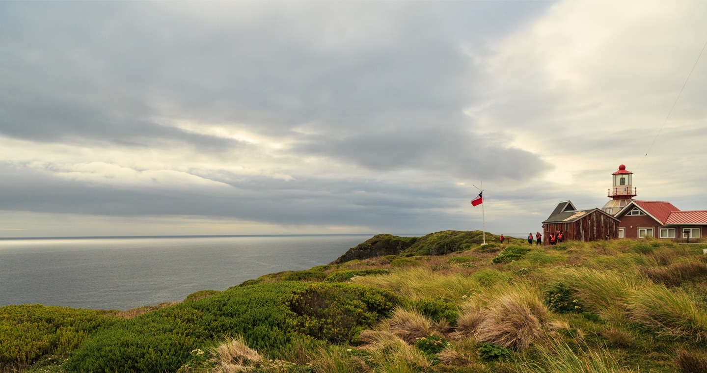
631 km2; Park includes the Wollaston Archipelago and the Hermite Islands - low rocky islands have minor altitudes that never go over the 300 meters, with the exception of two major peaks: Cerro Pirámide, which has an altitude of 406 meters, and Cerro Hyde, the highest point with an altitude of 670 meters. The terrain is almost entirely treeless peat and its main characteristic is the presence of tuberous vegetable formations covered in low dense grasses, lichens and mosses that are resistant to the low temperatures and harsh weather. Typical ecosystems: small patches of subantarctic forests, wetlands and peat bogs, alpine and marine ecosystems.
Fauna + Flora
Species List - See the Attachment Below
(Species list may not be complete)
Possible activities
Sailing; photography
Note
It is the world's southernmost national park.
Biosphere reserve of UNESCO
Best time to visit X-III