Basic ecotouristic information on Yok Don National Park (Vietnam) - localization, access, characteristic, fauna and flora, possible activities.
Localization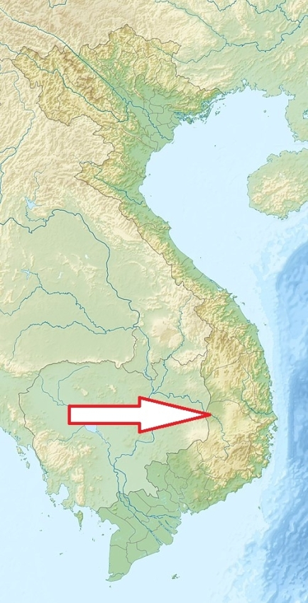
South Vietnam, about 40 km west of Buon Ma Thuot City, 400 km from Ho Chi Minh City to the north.
Access
Easy, about 30 minutes drive away from Buon Ma Thuot
Characteristic
1155 km2; The largest national park in Vietnam. The national park is situated on the flat plain that extends even to eastern Cambodia. There are two ranges of low hills within the national park, the highest point of which is the eponymous Mount Yok Don at 482 m in the south-eastern range. Average altitude of the park is about 200 m a.s.l. Yok Don National Park is bisected by the Srepok river, one of the major tributaries of the Mekong River. The Srepok river is the only permanent flowing watercourse in the national park. There are also numerous waterholes at the national park, some of which contain water all year. Tropical monsoon climate has two distinct seasons; rainy season from May to November and dry season from December to April. Average temperature varies from 24 - 26oC; the highest in May, the lowest in January. Average rainfall: 1500 - 2000mm/year. The highest month: 280 mm (June), The lowest month: 0 mm (January). Typical ecosystems: dipterocarp (deciduous) forest, semideciduos and partly even evergreen tropical forest, freshwater ecosystems (rivers).
Fauna + Flora
Species List - See the Attachment Below
(Species list may not be complete)
Possible activities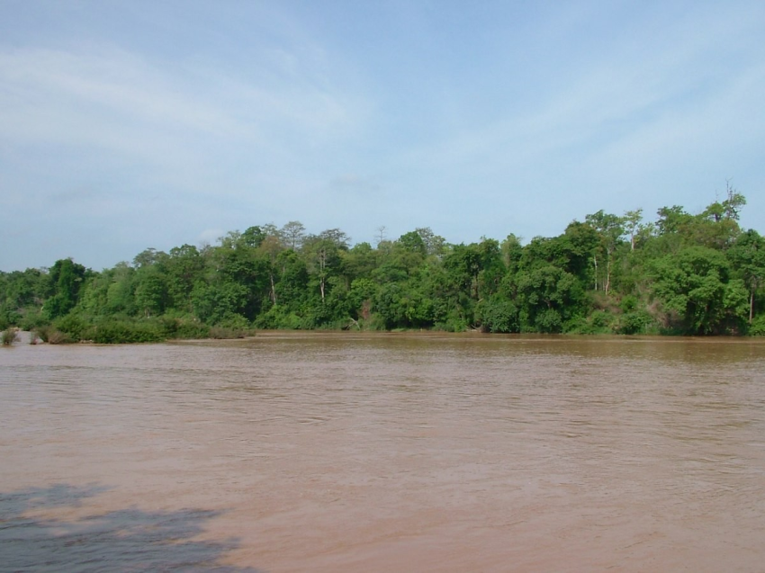
Trekking and guided nature walks.
Elephant riding, cycling, boat trips on the river, bathing in the river.
Note
Best time to visit: V-X.
This is the only national park that has a friendly tourism model with domestic elephants and wild elephants in their natural habitat.
Cultural experiences with the local ethnic minority communities,