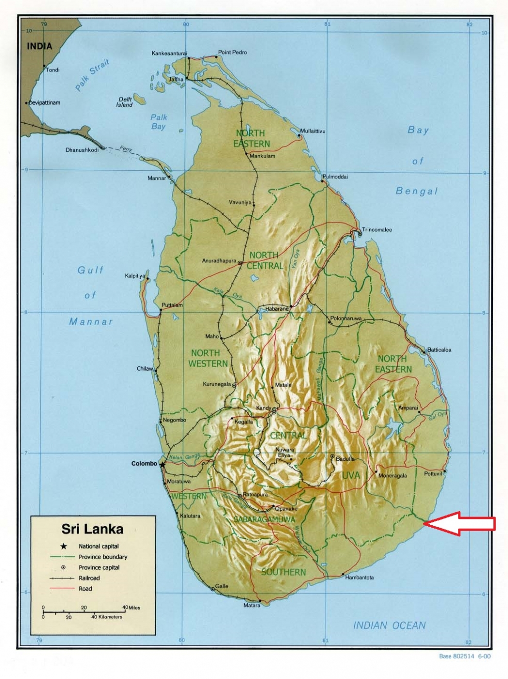
Basic ecotouristic information on Kumana National Park (Sri Lanka) - localization, access, characteristic, fauna and flora, possible activities.
Localization
Southeast Sri Lanka, 391 km southeast of Colombo.
Access
Easy, along the road 22 km south of Panama.
Characteristic
356 km2; Flat lowland area along the Benghal Bay coast. The elevation of the area ranges from sea level to 90 metres. The landscape is littered with rock plateaus and boulders, some even creating unique formations. Some 20 lagoons and tanks support the extensive birdlife of the national park. The lagoons are shallow with depths less than 2 metres.The most valuable part of the national park - "Kumana Villu" - about 200 ha natural marshy lagoon irrigated by the narrow water canal. Kumana villu is subject to occasional inundation with seawater. Very important locality for the high concentration of water and migratory birds. Typical ecosystems: dry evergreen forest, very important marshlands (freshwater, mixed even saline), mangroves, sea and the coast.
Fauna + Flora
Species List - See the Attachment Below
(Species list may not be complete)
Possible activities
Excellent conditions for birdwatching
Jeep safari riding through the park
Note
Kumana was formerly known as Yala East National Park.
Best time to visit IV-VIII (birdwatching)
Rock paintings and signs from 1st century B.C. in caves
