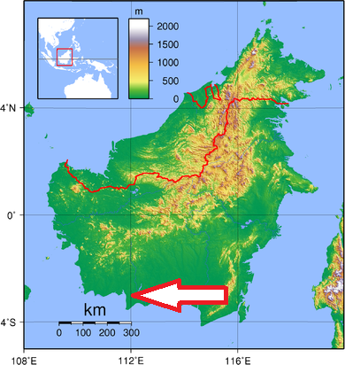
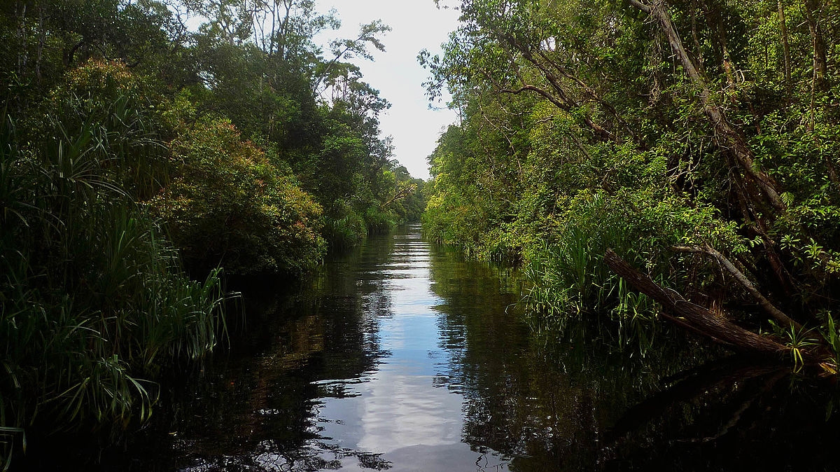
Basic ecotouristic information on Tanjung Puting National Park (Borneo, Indonesia) which can be visited - localization, access, characteristic, fauna and flora, possible activities.
Localization
South-western part of Central Kalimantan - on a peninsula that juts out into the Java Sea.
Access
Easy by boat. By air to Pangkalan Bun, by car from there to Kumai and then, by boat to the national park.
Characteristic
4150 km2 ; Low lying and swampy area with a spine of dry ground which rises a few feet above the omnipresent swamp. Towards the north of Tanjung Puting is characterized by gentle hills and alluvial plains. Nowhere does the altitude rise above 100 feet. The park is drained by several small blackwater rivers that are brackish at some distance from the coast. Typical ecosystems: tropical rain forest, peat swamp and heat forests, freshwater ecosystems, wetlands, mangroves, sea coast.
Fauna + Flora
Species List - See the Attachment
Possible activities
Forest trekking of various difficulty.
Visit of Orangutan Research Station at the Camp Leakey and Pondok Tanguii - the daily feedings of wild orangutans.
Note
Despite being a protected National Park, approximately 65% of the park's primary forest is degraded. The park was heavily damaged by fires in 1997 and 1998, and today remains threatened by illegal logging, illegal mining, and forest clearing for agricultural uses.
The park was designated as a UNESCO Biosphere Reserve in 1977.
Orangutan Research and Conservation Program, which is based at the landmark Camp Leakey research station.