Basic ecotouristic information on Betung Kerihun National Park (Borneo, Indonesia) which can be visited - localization, access, characteristic, fauna and flora, possible activities.
Localization
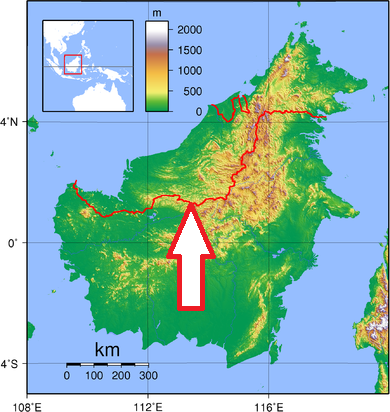
Central Borneo, along the Sarawak border
Access
Difficult
Characteristic
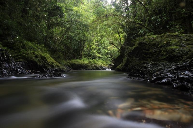
8,000 km2; Hilly to mountainous area, with altitudes ranging from 150 m to almost 1,800 m. The topography is characterized by steep slopes, with more than half of the park area having slopes over 45%. The highest peaks are Mount Kerihun (1,790 m) and Mount Lawit (1,767 m). The park is located at the headwaters of the Kapuas River. The average annual rainfall is 2,863 to 5,517 mm, and the number of rainy days is between 120 and 309 per year. Typical ecosystems: montane rain forests, which covers about 2/3 of the area, lowland rain forests, freshwater ecosystems - rivers and creeks.
Fauna + Flora
Species List - See the Attachment
Possible activities
Several hiking trails weave across the park.
The park may be explored on foot, by bicycle, motorbike, or by longboat by way of river.
Whitewater rafting (difficulty class III-V), canoeing, kayaking and tubing, mountains summits climbing, the limestone caves exploring in the eastern part of the park
Note
Best time to visit VI-IX
Remote national park
Proposed World Heritage Site
Several Dayak tribes, including Dayak Iban, Dayak Taman, and Dayak Bukat live in the park - observing the customs and culture of the Dayak tribes possibility.
Interesting archaeological destination with prehistoric paintings on cave walls dating back 5,000 years.
Contact us
Would you like to get any information on above mentioned national park or would you like to travel there? Please, fill up the attached form.