Basic ecotouristic information on Nui Chua National Park (Vietnam) - localization, access, characteristic, fauna and flora, possible activities.
Localization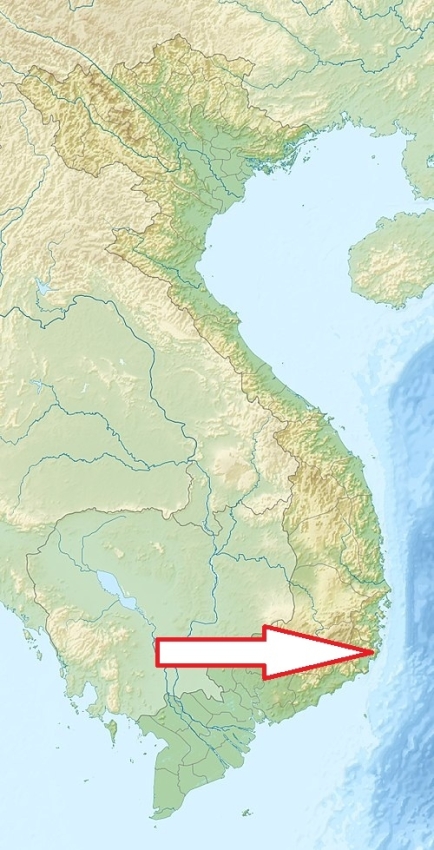
Eastern coast of South Vietnam, approx. 30 km from Phan Rang-Tháp Chàm .
Access
Easy - highway No.1 is forming a western park boundary, from Phan Rang-Tháp Chàm city is park only a 45-minute drive.
Characteristic
299 km2; Situated on a wide, mountainous peninsula, which projects into the South China Sea between Cam Ranh and Phan Rang bays. Elevations range from sea level to 1,039 m at the summit of Núi Chúa peak. Núi Chúa National Park also abuts a protected marine area of 7,352 ha. The park area belongs to driest and hottest parts of Vietnam, and it receives the lowest rainfall in south-central Vietnam with an average of 650 mm per year. The dry season extends for eight months from November or December to July or August. It is one of the few remaining sites in Southeast Asia where the coastal and marine habitats are still in relatively good condition, and it protects an impressive and largely intact biodiversity. It contains unique semi-arid vegetation. Typical ecosystems: dry evergreen and deciduous forest, semi-desert, grassland, freshwater ecosystems, sea and sea coast, coral reefs.
Fauna + Flora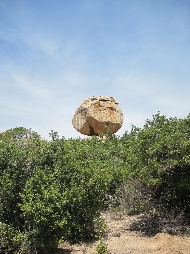
Species List - See the Attachment Below
(Species list may not be complete)
Possible activities
Easy hiking or more difficult trekking inside the park, during low tide, the walk along the shore to Otter Cave.
Swimming, snorkelling, diving, boat trips, sea kayak.
Note
Best time to visit: XI-VIII.
UNESCO Biosphere Reserve.
Most of the forest was destroyed at the beginning of the 1990s as a result of over-exploitation.