Basic ecotouristic information on Chu Mom Ray National Park (Vietnam) - localization, access, characteristic, fauna and flora, possible activities.
Localization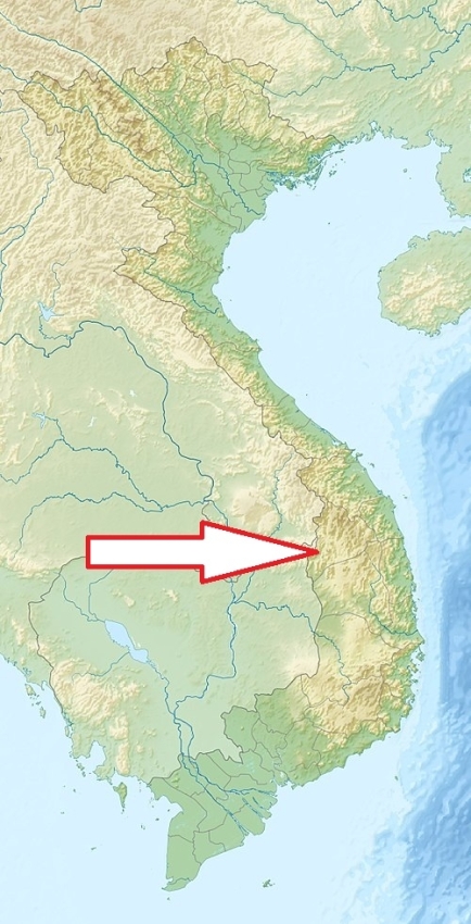
Central Vietnam near the borders of Cambodia and Laos. About 80 km from Pleiku.
Access
Quite difficult The easiest way to reach the park is from Pleiku City.
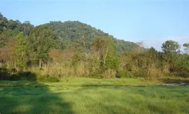
Characteristic
566 km2; The park located in Central Highlans is characterized by rolling hills, rugged mountains, and lush valleys, with the park’s highest peak, Chư Mom Ray Mountain, towering at 1,676 meters above sea level. Rivers such as the Sa Thay and Dak Bla weave through the park. During the rainy season, numerous waterfalls cascade through the park. Typical ecosystems: rain forest, semi-deciduous forest, mountain biotopes, grasslands, wetlands, freshwater ecosystems (rivers).
Fauna + Flora
Species List - See the Attachment Below
(Species list may not be complete)
Possible activities
Moderate to difficult forest trekking.
Mountain bikes, off-road drive.
Ethnotourism - interesting local communities living inside the park.
Note
Best time to visit: XI-IV.
Less visited national park.
Despite its protected status, the park faces challenges such as illegal logging, poaching, and encroachment from agricultural activities.